The map of Karakol Valley (Kyrgyzstan) and our route

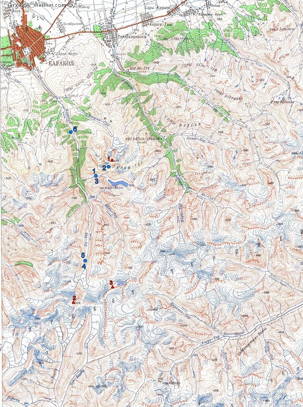
This is a map of Karakol valley (Tien-Shan, Kyrgyzstan, Issyk-Kul region) and our route done this summer.

Blue signs:
1,3 - "Sirota" refuge (08.07.2007, 10.07.2007)
2 - Terim-Tor Pass (09.07.2007)
4,5 - Our camp near Karakol glacier (11.07.2007, 12.07.2007)
6 - Our camp in Zangi valley (13.07.2007)

Red signs:
1 - Przhevalsky (Prjevalski) Peak 4271 m.
2 - Karakol Peak (Каракольский) 5216 m.
3 - Djigit (Dzhigit) Peak 5173 m.

Add your comments: (all fields marked with * are required)

Your name *:


Your email *:
(not posted in comments)

Comments *:

The map of Karakol Valley (Kyrgyzstan) and our route

<< previous photo l Close window l Open homepage l next photo >>